Welcome to our website!
RasterTech Australia is a software distribution division of Breedveld Enterprises Ltd (BEL).
For the past 25 years we have been bringing world leading Technical Software for users and developers.
Are you making drawing changes to paper images using CAD or other tools?
Read about our new products, contact us to get more information concerning your case, make your life easier.
CSoft's WiseImage, WiseBook, PlanTracer, RasterID; Rasterex's RxView, RxHighlight; TDM's TechDoc, DvTDM
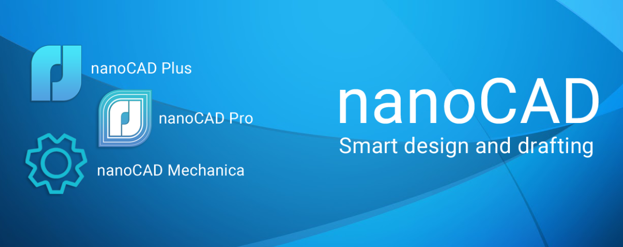
NanoSoft's nanoCAD modules